Story Map
Each Heritage River Story Map displays various visual representations of geospatial data in combination with text, photos, videos and external links.
Natural Heritage
The Thames rises at three distinct points near Mitchell (North Thames), Hickson (Middle Thames) and Tavistock (South Thames). The Middle and South Thames join east of London and the North and South branches meet at the Forks in London, the city’s most important historical landmark. From there, the river flows southwest before it empties into Lake St. Clair at Lighthouse Cove.
The upper branches of the river flow through ancient glacial spillways that formed following the last glacial retreat. The river beds are rocky and the valley slopes are steep, with bluffs or terraces on at least one side. In contrast, the Lower Thames has carved its own shallow channel into the flat plains of clay and sand. Here, the river bed is soft and the water flow is gentle. The river corridor remains largely unchanged and appears much as it did 300 years ago.
The Thames watershed spans the Carolinian and Great Lakes-St. Lawrence Forest Regions. The Carolinian Zone is one of the most biologically diverse regions in Canada, home to diverse plant life, including rare species such as American Ginseng, Green Dragon and Wood Poppy. The eastern spiny softshell turtle makes its home in the Thames River, which also sustains one of the most diverse fish populations in Canada.
Cultural Heritage
The outstanding cultural heritage of this river includes more than 11,000 years of continuous occupancy by Canada’s Aboriginal Peoples and a rich history of European exploration and settlement.
Beginning with the Paleo Indians and continuing to the present day, the river has been consistently used for both sustenance and settlement. Four distinct First Nations continue to reside along the Thames: Chippewa of the Thames, Moraviantown, Munsee-Delaware Nation and Oneida Nation of the Thames.
The Thames River was one of the major theatres of the War of 1812 where the legendary Shawnee Chief Tecumseh died at the Battle of Moraviantown. A peace treaty later defined the Canadian-American border in what is now southwestern Ontario.
The Thames was the terminus for the Underground Railway for fugitive American slaves prior to the American Civil War. Recognized as the birthplace for Canadian agriculture, it remains the agricultural heartland of eastern Canada to this day.
Recreational Heritage
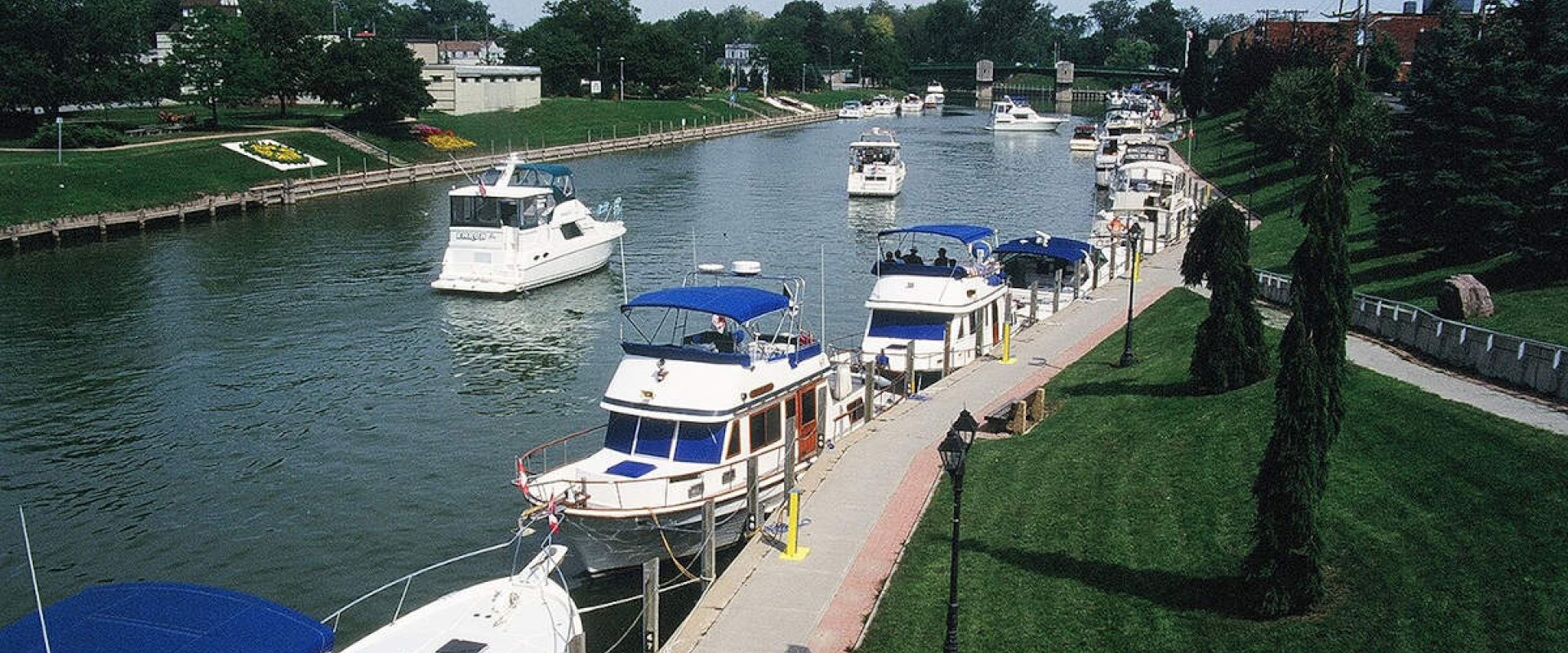
The Thames River and its watershed support diverse recreational activities. The dams and reservoirs built for flood control have created great boating, sailing and fishing opportunities. For hikers, the 109 km Thames Valley Trail extends northeast from Delaware to St. Marys where it joins the Avon Trail, which stretches another 100 km to meet the Grand River Trail.
There is a long history of recreational boating on the river, as the Thames provides excellent scenic canoe travel with few difficult rapids. The Thames is also home to a High Performance Rowing Centre at Fanshawe Reservoir where Canada’s National and Olympic rowers train.
Fun Fact
Fugitive American slaves travelled the ‘Underground Railway’ to settle on the river near Chatham, Ontario, in the mid-19th Century.
River Managers
The Thames River is managed by the Upper Thames River and Lower Thames Valley Conservation Authorities, who are responsible for implementing the designation document for this river – The Thames Strategy. Both of these conservation authorities work in partnership with member municipalities, agencies, community groups and citizens to improve water quality, protect against flood and drought and conserve and expand natural areas.
Discover More
Designation
The Thames River’s rich cultural heritage and diverse recreational opportunities formed the basis for its designation to the Canadian Heritage Rivers System in 2000. The designation includes the 273 km river and its entire watershed, which drains 5285 km2 of land, making it the second largest watershed in southwestern Ontario.
The cultural heritage of this river includes ongoing occupancy by First Nations for over 11,000 years, with a multitude of archaeological sites located along the waterway. The Thames also has a rich history of European exploration and settlement that dates back to the 17th century, encompassing the fur trade, British exploration and early settlement, military battles, and intensive agricultural and urban settlement.
Resources
| title | type | file |
|---|---|---|
| Thames River Ten-Year Report 2002 – 2012 Archived / archive en anglais seulement | Decadal Monitoring Reports | PDF of Thames River Ten-Year Report 2002 – 2012 |
This page has been archived on the Web
Information identified as archived is provided for reference, research or recordkeeping purposes. It is not subject to the Government of Canada Web Standards and has not been altered or updated since it was archived. Please contact us to request a format other than those available.


