


Soper | Kuujjuaq River
ᑰᔾᔪᐊᖅ
Designated
Story Map
Each Heritage River Story Map displays various visual representations of geospatial data in combination with text, photos, videos and external links.
Natural Heritage
One of the main reasons for the designation of the Soper River and its two tributaries, the Livingstone and Joy rivers, was the exceptional natural values of this landscape. Extensive metamorphic folding of the largely granite bedrock along the river 1,740 million years ago created a complex and very interesting geological landscape. Exposed minerals such as graphite, garnet, soapstone, and mica quartz are also features of this heritage river.
In the river valley, the low waters and warm microclimate create relatively lush wetlands. Unique vegetation thrives along the river, varying from sphagnum moss, to yellow mountain saxifrage, to willows that grow up to 3.6 metres high. An unusual concentration and variety of wildlife is attracted to the valley, including lemmings and rough-legged hawks.
Cultural Heritage
Known locally as Kujjuuak, or “the big river,” this Soper River has a long history of traditional use and habitation. The river and the Kimmirut region contain many sites of early habitation from as early as Pre-Dorset times, 4,000 years ago. The river valley served as a major inland travel corridor to a rendezvous point at Amadjuaq Lake and other parts of central Baffin Island.
Contact between Inuit and Europeans increased after the Hudson’s Bay Company was formed in 1670. Fur traders began to come through the region, and later, Scottish and American whalers would visit the Hudson Strait in pursuit of bowhead whales. During the early decades of the l900’s, a fur trade post was established in Kimmirut (then known as Lake Harbour) and a number of mining efforts replaced the failing whaling industry.
Recreational Heritage
The Soper River area offers a variety of recreational activities for a wide range of visitors. Canoeing, kayaking, and rafting are all possible along the river’s course south of Mount Joy. The sandy river terraces provide convenient camping spots for river travellers. Anglers love fishing for Arctic char in the river and for Greenland cod in Soper Lake.
Hiking through the valley and onto the upland area traverses diverse terrain. The unusually lush vegetation of the river valley, abundant wildlife, waterfalls, scenic vistas, and wildflowers combine to make the valley a wonderful place for both wilderness adventures and photography.
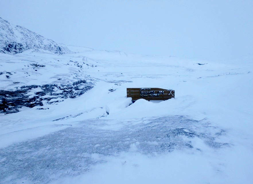
An overland route from Iqaluit to Kimmirut includes several shelters along the Soper River. The route can be travelled by snowmobile and dogsled during the winter.
Fun Fact
A small deposit of lapis lazuli (a blue gemstone), one of the few known occurrences of this gem in the world, can be found in the river valley.
River Managers
The Soper River is managed jointly through a collaboration of several community partners, which is coordinated by Nunavut Parks and Special Places, a division of the Government of Nunavut.
Discover More
Designation
The Soper River, on the Meta Incognita Peninsula on Southern Baffin Island, was designated to the Canadian Heritage River System in 1992 based on the richness of its natural heritage, its cultural importance to the Inuit, and for the exceptional recreational opportunities it provides for visitors.
The area designated to the Canadian Heritage River System includes virtually the entire 2500 sq. km. drainage basin of the Soper River and its two major tributaries, the Livingstone and the Joy rivers. The lower portion of this designated area is protected within Katannilik Territorial Park, which means “place of waterfalls”.
Partners
- Qikiqtani Inuit Association and Nunavut Tunngavik Incorporated
Resources
| title | type | file |
|---|---|---|
| Soper River Ten-Year Review 1992 – 2002 Archived / archive en anglais seulement | Decadal Monitoring Reports | PDF of Soper River Ten-Year Review 1992 – 2002 |
This page has been archived on the Web
Information identified as archived is provided for reference, research or recordkeeping purposes. It is not subject to the Government of Canada Web Standards and has not been altered or updated since it was archived. Please contact us to request a format other than those available.
Plaque Text
The Canadian Heritage River plaques offer a brief glimpse into why a river has been designated to the System. They are often located nearby one of its historically significant locations, and highlight some of the most important natural, cultural and recreational values of the river.
Soper River Plaque Text
The Soper River - Carving through a rugged landscape, the Soper River has, for 4,000 years, been a major travel corridor for the Inuit of south Baffin Island and their predecessors. Arctic char and Greenland cod abound in Soper Lake, while the river valley supports ptarmigan, arctic hare and caribou – all important elements of the Inuit diet. This relationship between the people and the land is vividly captured in soapstone carvings for which Lake Harbour is world-renowned. Named to honour northern biologist Dewey Soper, the 108 km Soper River brings to the Canadian Heritage River System an arctic river valley of unusually lush vegetation, outstanding examples of the diverse landforms of south Baffin Island, and unique opportunities to recreation and for cultural heritage appreciation.